
Recommandé
Contenu connexe
Tendances
Tendances (18)
En vedette
En vedette (20)
Similaire à Algeria Facts: History, Location, Government, Independence
Similaire à Algeria Facts: History, Location, Government, Independence (15)
Dernier
Dernier (20)
Algeria Facts: History, Location, Government, Independence
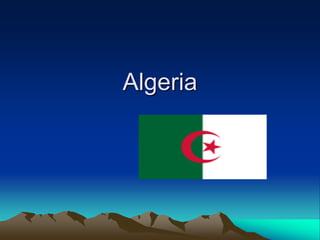
- 1. Algeria
- 3. History • Algeria has been populated since 10,000 BC, as depicted in the Tassili National Park. The indigenous peoples of northern Africa are a distinct native population, called the Berbers[18] by Greeks and Romans, and then by Arabs.
- 5. Location • Algeria is the tenth-largest country in the world and the largest in Africa, after the secession of South Sudan on the 9th of July 2011 from Sudan, the latter being the former biggest country in Africa.The country is bordered in the northeast by Tunisia, in the east by Libya, in the west by Morocco, in the southwest by Western Sahara, Mauritania, and Mali, in the southeast by Niger, and in the north by theMediterranean Sea
- 9. Some more facts • Geographic coordinates: 28 00' N, 3 00' E • Area: total - 2,381,740 sq km, land - 2,381,740 sq km, water - 0 sq km • Land boundaries: total - 6,343 km • Border countries: Libya 982 km, Mali 1,376 km, Mauritania 463 km, Morocco 1,559 km, Niger 956 km, Tunisia 965 km, Western Sahara 42 km • Coastline: 998 km • Note: second-largest country in Africa (after Sudan)
- 10. Important info. • President Abdelaziz Bouteflika • - Prime Minister Abdelmalek Sellal • Capital: Algiers • Independence from France - • Recognized 3 July 1962 - • Declared5 July 1962