Electoral Boundaries Delimitation Using DistrictBuilder
•Télécharger en tant que PPTX, PDF•
1 j'aime•752 vues

This describes an application of DistrictBuilder and the Public Mapping Project to redistrict Mexican states.

Recommandé
Contenu connexe
Similaire à Electoral Boundaries Delimitation Using DistrictBuilder
Similaire à Electoral Boundaries Delimitation Using DistrictBuilder (20)
Plus de Micah Altman
Plus de Micah Altman (20)
Electoral Boundaries Delimitation Using DistrictBuilder
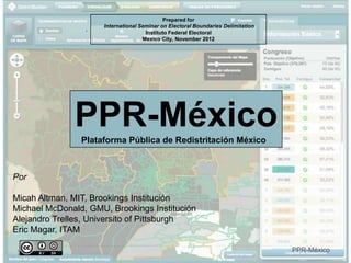
- 1. Prepared for International Seminar on Electoral Boundaries Delimitation Instituto Federal Electoral Mexico City, November 2012 PPR-México Plataforma Pública de Redistritación México Por Micah Altman, MIT, Brookings Institución Michael McDonald, GMU, Brookings Institución Alejandro Trelles, Universito of Pittsburgh Eric Magar, ITAM 1 PPR-México
- 2. Where has DistrictBuilder been used? Used in 10 states More than 1000 legal plans created by the public Thousands of public participants Millions of viewers 2 PPR-México
- 3. How has DistrictBuilder been used? For Transparency: Dissemination Public understanding Evaluation/comparison For Education: Staff training Classroom teaching Student competitions For Participation: Integrated into official decision process Non-partisan public organizations For Election Administration: Internal collaboration/analysis sharing Support for commission 3 PPR-México
- 4. What principles govern the project? All redistricting plans should include sufficient information such that the public can verify, reproduce, and evaluate a plan. Open Source Open Data Open Algorithms See: Principles for Transparency and Public Participation in Redistricting PPR-México http://www.brookings.edu/opinions/2010/0617_redistricting_statement.a
- 5. Builds on Best-of-Class Open Source Software 5 PPR-México
- 6. (Also Award Winning) Named one of the top ten political innovations of 2011 by Politico Winner of 2012 data innovation award, for data used for social impact, by Strata Winner of 2012 award for outstanding software development, by American Political Science Association 6 PPR-México
- 7. Thanks to Our Sponsors Funded in part by The Sloan Foundation Joyce Foundation Amazon Corporation Judy Ford Watson Center at Christopher Newport Univ. Engineering and implementation services by: Azavea 7 PPR-México
Notes de l'éditeur
- This work. “The Public Mapping Project”, by Micah Altman (http://redistricting.info) is licensed under the Creative Commons Attribution-Share Alike 3.0 United States License. To view a copy of this license, visit http://creativecommons.org/licenses/by-sa/3.0/us/ or send a letter to Creative Commons, 171 Second Street, Suite 300, San Francisco, California, 94105, USA.
- This work. “The Public Mapping Project”, by Micah Altman (http://redistricting.info) is licensed under the Creative Commons Attribution-Share Alike 3.0 United States License. To view a copy of this license, visit http://creativecommons.org/licenses/by-sa/3.0/us/ or send a letter to Creative Commons, 171 Second Street, Suite 300, San Francisco, California, 94105, USA.