Apidays New York 2024 - Passkeys: Developing APIs to enable passwordless auth...
Searching for Geospatial Data (Mark Wimer)
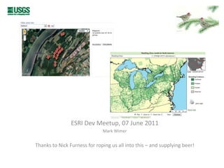
1. How do you find your geo-data? ESRI DevMeetup, 07 June 2011 Mark Wimer Thanks to Nick Furness for roping us all into this – and supplying beer!
2.
3.
4.
5.
6.
7.
8.
9.
10.
11.
12.
13.
14.
15. What’s improved in search? Search engines, of course Images/thumbnails help visually Authority, dates more likely to be used in titles Much more data, for different uses & users: contrast ArcGIS online with GLCF @UMD
16.
17.
18.
19. User challenge: When do you stop searching? For a co-worker? For your boss? For a publication? If you have to digitize it yourself!?!?!?! Could you tell someone else: Yes, I did a search Here is what I looked for
20. Types of search tools Keeping your own hard drive… General search engines (Metadata) clearinghouses Data repositories (GeoCommons, Databasin) Data portals – regional, topic-based Inline to workflow (ArcGIS Online) Discussion lists Ask for help: in-person, Twitter, etc Others? Please list….
21. Best Practices? Use a strategy – any strategy It’s okay to do a first quick pass, but you’ll probably need to redo it, and document it, in many cases