TeamStation AI System Report LATAM IT Salaries 2024
TU1.T10.3.ppt
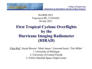
1. First Tropical Cyclone Overflights by the Hurricane Imaging Radiometer (HIRAD) Chris Ruf 1 , Sayak Biswas 2 , Mark James 3 , Linwood Jones 2 , Tim Miller 3 1. University of Michigan 2. University of Central Florida 3. NASA Marshall Space Flight Center College of Engineering Department of Atmospheric, Oceanic & Space Sciences IGARSS 2011 Vancouver BC, CANADA 26 July 2011
9. HIRAD TB Images at 4.0, 5.0 and 6.6 GHz along Northbound Earl Overpass 4.0 GHz 5.0 GHz 6.6 GHz
10. HIRAD/SFMR West Leg Overpass HIRAD Tb@ 4GHz HIRAD Tb@ 5GHz Model Tb@ 4GHz SFMR Wind +50 (m/s) SFMR Rain +50 (mm/hr) stop start SFMR Flt Dir “ Model ” data are Tb ’ s computed from SFMR wind & rain fields Model Tb@ 5GHz
11. Hurricane Karl Best Track and 3 HIRAD Overpasses on 14, 16 & 17 Sep. Storm center location during HIRAD overpasses indicated by triangles
12. HIRAD 5 GHz TB Image for Karl 16 Sep. Overpass Storm-centric Longitude (deg) Storm-centric Latitude (deg) Leg 8 Leg 10 Leg 6
13.
Editor's Notes
Note that the HIRAD team requested to fly on both the day before and the day after the Sept 1 flight, but the WB-57 had mechanical problems on those days.
Storm center when SFMR crossed it the first time: 73.38W, 26.99N second time: 73.59W, 27.39N
![Outline ,[object Object],[object Object],[object Object],[object Object]](data:image/gif;base64,R0lGODlhAQABAIAAAAAAAP///yH5BAEAAAAALAAAAAABAAEAAAIBRAA7)