
Recommended
Recommended
More Related Content
What's hot
What's hot (20)
Viewers also liked
Similar to Satellite Imagery Integration in Bulgarian Risk Management
Similar to Satellite Imagery Integration in Bulgarian Risk Management (20)
Recently uploaded
Recently uploaded (20)
Satellite Imagery Integration in Bulgarian Risk Management
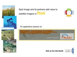
- 1. An applicative session on Spot Image and its partners add value to satellite imagery in Risk Bulgarisk : integration of satellite imagery in the operational procedures of risk management in Bulgaria Vassil Vassilev
- 2. Remote Sensing Application Center - ReSAC Presented by: Vassil Vassilev Remote Sensing Application Center - ReSAC Bulgarisk : integration of satellite imagery in the operational procedures of risk management in Bulgaria
- 6. Remote Sensing Application Center - ReSAC / 12 WP2-1 Kick-Off Meeting Spot Image WP3-1 Investigation DDSC WP4-1 Basics on remote sensing and GIS SERTIT WP4-2 Risk mapping using satellites imagery SERTIT WP2-2 Seminar "State of the art" SERTIT WP3-2 Report of needs analysis DDSC WP5-3 Promotion and Communication Spot Image WP1-1 Administrative & financial management Spot Image WP1-2 Technical coordination SERTIT WP4-3 Event mapping - rapid mapping SERTIT WP5-1 Preparation & edition of final report Spot Image WP5-2 Validation of final report by Bugarian experts and users Spot Image WP2-3 Study Tour in France Spot Image WP2-4 Workshop "Integration of remote sensing technologies SERTIT WP4-4 Satellite imagery exploitation for the full risk management cycle SERTIT WP4-5 Risk management applications and tools INFOTERRA WP-1 Project management Spot Image WP-2 Seminar & Workshops SERTIT / Spot Image WP-3 Analysis of risk information needs DDSC WP-4 Training SERTIT WP-5 Final Report Spot Image Closed Ongoing WP2-5 Workshop "Final meeting" Spot Image
- 13. Remote Sensing Application Center - ReSAC / 12 Fabienne GRAZZINI [email_address] Claire KOWALEWSKI [email_address] Vincent KERBAOL [email_address] Bernard ALLENBACH [email_address] Florence BAILLARIN [email_address] Ljudmila MILENOVA [email_address]
- 14. ‘‘ Need the right imagery solutions for your job? Ask for Spot Image.’’ www.spotimage.com