Dimensional Control of Construction works afloat. A view from 3 dimensions.
•Télécharger en tant que PPTX, PDF•
0 j'aime•1,028 vues

Dimensional Control of Construction works afloat. A view from 3 dimensions by IJsbrand van der Bent, Ingenieursbureau Passe Partout

Recommandé
Recommandé
Contenu connexe
Plus de Hydrographic Society Benelux
Plus de Hydrographic Society Benelux (20)
Dimensional Control of Construction works afloat. A view from 3 dimensions.
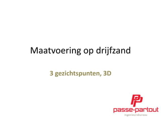
- 1. Maatvoering op drijfzand 3 gezichtspunten, 3D
- 4. Persoonlijke dimensie Construction projects •(Zeeburgertunnel) •Tunnel onder de Noord •Tweede Benelux
- 7. Refereren WGS 84 3 Rotaties 3 Translaties 1 Schaalfactor Hayford
- 8. Refereren
- 9. Refereren
- 10. Refereren
- 13. Maatvoering op drijfzand Wat meten? (Datum, referentie) Hoe nauwkeurig? Keuze meetopzet en instrumentatie
- 16. Maatvoering op drijfzand 1. Synchroniseren – – Koppelen van positiesensor en overige sensoren aan boord Gyro / MRU calibratie
- 17. Maatvoering op drijfzand 2. Aligneren (=“Fysiek transformeren”) Wat is hier het datum? ( (
- 18. Maatvoering op drijfzand 3. Rekenkundig transformeren Tachymeter WGS 84 3 Rotaties 3 Translaties 1 Schaalfactor Hayford Scheepsstelsel Of preciezer: datum ontwerper
- 20. Maatvoering op drijfzand 3. Rekenkundig transformeren
- 21. Maatvoering op drijfzand 3. Rekenkundig transformeren Fotogrammetrie, vanuit de lucht maar ook terrestrisch. Centrale projectie
- 22. Maatvoering op drijfzand Instrumentatie: Tachymeter Lasertracker Vlakheidslaser Uitlijn laser Laserscanner Fotografie Klein meetgereedschap