Heat waves in Moscow in 2010
•
0 j'aime•294 vues

Short description of heat waves in Moscow region in 2010

Recommandé
Contenu connexe
Plus de Stepan Zemtsov
Plus de Stepan Zemtsov (20)
Dernier
Dernier (20)
Heat waves in Moscow in 2010
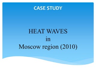
- 1. HEAT WAVES in Moscow region (2010) CASE STUDY
- 3. Hazard Description Period: June-August 2010 Duration: 1-2 months (July-August for the critical temperature) recorded) Magnitude: - 12°C above the average temperature - 26°C average temperature - 38,2°C maximum recorded temperature high temperatures, high pressure, hot winds, dust clouds, lack of rainfall Origine: anticyclone Frequency: lasted for the whole period
- 5. Description of the SES Social aspect - Rural settlements - Urban areas (14 million persons) Environmental aspect - Marshlands (south-east part) - Forest and national parks - Water basins (river, reservoirs, etc.) - Agricultural area Scale: Disctrict level within Moscow region Time scale: 2 months (July-August)
- 6. Scenario Direct impacts • Death • Health problem • Vegetation loss • Infrastructure collapse (power cut, vehicle collapse, etc) Indirect impacts • Wild fires impacts: • Property loss • Loss of vegetation • Smoke
- 7. Indicators Exposure Susceptibility Capacities People - Size and distribution of the population (low uncertainty) - Land cover – RS (low/medium uncertainty) - Age of the population above 65 (absolute and relative values) - Income per capita, as a proxy for access to air conditioning (low uncertainty) - Hospitals’ capacity - Nber of Rescue Services (low uncertainty) - Nber of volunteers working in an organization (low uncertainty) Environment - Forest area (km2) - Forest composition (type of trees/species) (low uncertainty) - Road network density (low uncertainty) - Water ressources availability in each district (low /medium uncertainty) - Existence of vegetation resistant to fire (low /medium uncertainty)
- 8. The data is quantitative and has low to medium level of uncertainty which makes the framework applicable The framework is a base for short term vulnerability assessment There is need of integrating long-term indicators in order to be applicable at a larger scale over time and space Conclusion
- 9. THANK YOU FOR YOUR KIND ATTENTION