![[object Object],[object Object],[object Object],[object Object],[object Object],[object Object],Navigation 1](data:image/gif;base64,R0lGODlhAQABAIAAAAAAAP///yH5BAEAAAAALAAAAAABAAEAAAIBRAA7)
Recommandé
Contenu connexe
Tendances
Tendances (19)
En vedette
Similaire à Folding and reading a map
Similaire à Folding and reading a map (20)
Folding and reading a map
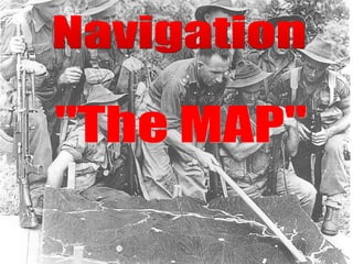
- 1. Navigation "The MAP"
- 14. What is it ??? What is it ??? It Is the Information Located Around the Edges of the Map Which is Necessary for the Correct Use of the Map.
- 15. Such As.. Such As.. The Title Legend Contour Interval Scale
- 16. TOP RIGHT Map Series No. Sheet No. Edition No. Marginal Information
- 17. TOP CENTRE Map Title Marginal Information KAPOOKA SPECIAL NEW SOUTH WALES
- 18. Map Scale TOP LEFT Map Type Marginal Information AUSTRALIAN 1 : 25 000 TOPOGRAPHIC SURVEY
- 19. Compilation Field Verification Date, BOTTOM LEFT North Point Diagram Universal Grid Ref and Marginal Information
- 20. Contour Interval, BOTTOM CENTRE Water Course Guide and Legend, Scale, Climatic Graphs. Marginal Information
- 21. BOTTOM RIGHT Map Title Index To Adjoining Maps Marginal Information