Call Girls in Delhi Triveni Complex Escort Service(🔝))/WhatsApp 97111⇛47426
G2 Berman
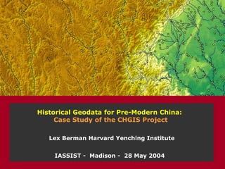
1. Historical Geodata for Pre-Modern China: Case Study of the CHGIS Project IASSIST - Madison - 28 May 2004 Lex Berman Harvard Yenching Institute
2. a base GIS of Chinese adminisrative divisions 222 BCE 秦始皇 1911 CE 清宣统 POINT Features: National Capitals Province Capitals Prefecture Capitals County Capitals Towns & Villages POLYGON Features: National & Regime Boundaries Province Boundaries Prefecture Boundaries 1911 County Boundaries
3. placename feature type coordinates valid date source note spatial objects digital gazetteer GIS layers CHGIS = gazetteer database + GIS layers
4. placename admin unit, populated place, natural feature, religious site, archaeological site, trade route, place where an event occurred, etc feature type city, village, mountain, temple, ruin, trade route, etc footprint latitude and longitude for each feature source note citation of data source, commentary on feature valid date date or range of time for which this record is valid core elements of a digital gazetteer
22. copy areas of interest to a separate shapefile select area of interest convert to “shapefile”
23. joining your own data values to CHGIS records export attribute data for focus area to TEXT file add a new column to the TEXT file enter new values in the new column, then REJOIN to original GIS focus area shapefile
24. working with CHGIS data – thematic mapping create chloropleth map based on your data
25. Thiessen polgyons generated from points center points + outer boundary Thiessen Polygons based on points aggregation of Thiessen boundaries