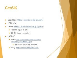
Présentation de GeoSIK, projet open source qui permet d'implémenter facilement des services web OCG en .NET, réalisée le 21/05/2014 à l'ENSG lors du FOSS4G-FR.
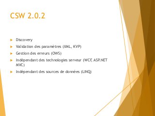
CSW 2.0.2
Discovery
Validation des paramètres (XML, KVP)
Gestion des erreurs (OWS)
Indépendant des technologies serveur (WCF, ASP.NET
MVC)
Indépendant des sources de données (LINQ)
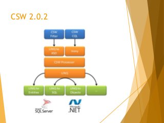
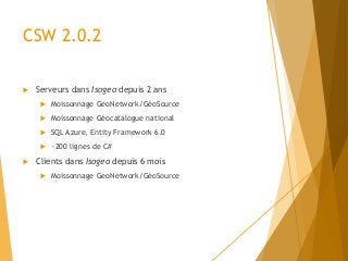
CSW 2.0.2
Serveursdans Isogeo depuis 2 ans
Moissonnage GeoNetwork/GéoSource
Moissonnage Géocatalogue national
SQL Azure, Entity Framework 6.0
~200 lignes de C#
Clients dans Isogeo depuis 6 mois
Moissonnage GeoNetwork/GéoSource
7.
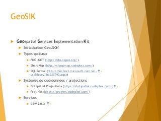
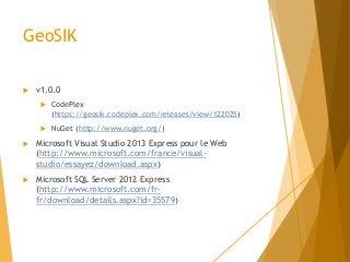
GeoSIK
v1.0.0
CodePlex
(https://geosik.codeplex.com/releases/view/122025)
NuGet (http://www.nuget.org/)
Microsoft Visual Studio 2013 Express pour le Web
(http://www.microsoft.com/france/visual-
studio/essayez/download.aspx)
Microsoft SQL Server 2012 Express
(http://www.microsoft.com/fr-
fr/download/details.aspx?id=35579)