
Recommandé
Contenu connexe
Tendances
Tendances (15)
En vedette
Plus de Migration A Pilgrimage to Welfare
Plus de Migration A Pilgrimage to Welfare (20)
Dernier
Dernier (20)
Map of Netherlands
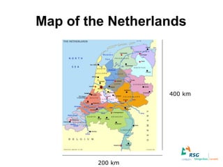
- 1. Map of the Netherlands 400 km 200 km
- 4. RSG Levant
- 7. We offer… (VMBO) TL Pre-vocational secondary education Havo Senior general secondary education Atheneum Pre-university education TVWO Bilingual pre-university education
- 8. … and more • Sports classes • Industrial design classes • Bilingual classes – Bilingual pre-university (6 subjects in English) – ‘World’ classes on pre-vocational and senior general level – Extra English in first-year classes
- 10. As part of the introduction first-years go camping
- 11. Or sailing
- 12. And they have to find their teachers
- 13. Romeo and Juliet
- 14. RSG Running
- 15. Third-years go on survival
- 16. It’s almost party time
- 17. Blingbling
- 18. Gala (formal)
- 19. Halloween