OpenStreetMap in Palestine - Mikel Maron
•Télécharger en tant que PPT, PDF•
0 j'aime•430 vues

OpenStreetMap aimed to create a free and open map of Palestine by crowdsourcing mapping contributions. They found that existing maps were expensive, outdated, incomplete or politically biased. The project partnered with local organizations to test mapping on the ground and collect existing data. It then conducted a successful fundraising campaign to obtain aerial imagery in order to rapidly map roads and points of interest across the West Bank and Gaza.

Recommandé
Recommandé
Contenu connexe
Tendances
Tendances (20)
En vedette
Similaire à OpenStreetMap in Palestine - Mikel Maron
Similaire à OpenStreetMap in Palestine - Mikel Maron (20)
Plus de CrisisCommons
Plus de CrisisCommons (13)
Dernier
Dernier (20)
OpenStreetMap in Palestine - Mikel Maron
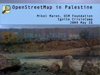
- 1. OpenStreetMap in Palestine Mikel Maron, OSM Foundation Ignite CrisisCamp 2009 May 26
- 3. Maps and Data are Expensive, Wrong, Not Everywhere
- 4. OSM in Govt & Corps Development &UN
- 6. we are missing Neutral Geographic Context http://www.flickr.com/photos/discoste/3069220022/
- 7. Bethlehem August 2008 Engineers without Borders Engineering Association
- 8. Testing Our Mapping Assumptions
- 9. From Hebron to Ramallah to Jenin
- 10. Partners Atlas, NC4D, ARIJ, PCBS, Relief Intl
- 11. Gaza January 2009 no decent maps anywhere
- 12. Call out for help
- 13. Tidal wave of crowdsourcing
- 14. Collect existing data sources and free data UN, Commercial, NGO, EU, Wikipedia, USA, News
- 15. Fundraiser for Imagery 5k GBP in days 2m, mid-January from Digital Globe
- 16. JumpStart enters Gaza in March
- 17. Gaza City today
- 18. Applications and Use Nationalized Routing
- 19. H.O.T Humanitarian OpenStreetMap Team
- 20. Complete Roads and POI in West Bank and Gaza