Supply Chain Network Optimization Brochure.pdf
•
0 j'aime•6 vues

Strengthen supply chain network design with location intelligence. • Strengthen supply chain network design with location intelligence.

Recommandé
Recommandé
Contenu connexe
Similaire à Supply Chain Network Optimization Brochure.pdf
Similaire à Supply Chain Network Optimization Brochure.pdf (20)
Plus de Dista
Plus de Dista (20)
Dernier
Dernier (20)
Supply Chain Network Optimization Brochure.pdf
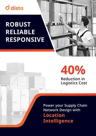
- 1. ROBUST RELIABLE RESPONSIVE Power your Supply Chain Network Design with Location Intelligence 40% Reduction in Logistics Cost
- 2. Intelligent Network Design for Faster Route to Market Plan inventory using spatial characteristics of multiple location points—overlay Point of Interest (PoI) data to understand demand patterns and strategically place DCs and warehouses. Design the most efficient route and eliminate complexities. Optimize routes to get faster, flexible delivery options, and reduce cost. Get real-time updates on driver, vehicle, route deviation, delivery status, etc. Sophisticated network design and advance route optimization significantly reduces fuel and logistics costs. Minimize transportation costs with advance route planning and optimization. Make smarter and faster decisions with flexible network designs and respond to evolving market conditions using data-packed insights. Respond to dynamic customer demand patterns with data-driven insights from spatial analysis. Increase collaboration between suppliers, partners, and reduce disruptions. Apply AI/ML-based algorithms using 150+ constraints, including distance, delivery time, number of vehicles, traffic, order volume, etc, for frictionless last mile delivery. Streamline routes for any vehicle configuration. Identify optimal locations for setting up distribution centers (DC), warehouses, fulfillment centers, dark stores, or factories by leveraging spatial analysis to serve customers better. Visualize and design territory clusters on maps to align areas with high and low density of stores, customer order demand, or any other variable. Get end-to-end supply chain network visibility. Intelligent Territory Clusters Effective Demand Planning Efficient Route Planning Boost Cost Efficiency Make Informed Decisions Increase Supply Chain Agility Enhance Last Mile Efficiency Optimal Placement of Facilities
- 3. Features Our Customers Trust Intelligent Cluster Analysis Strategic Demand Planning Advance Route Optimization Supply Chain Network Analysis Scheduling Management Fleet Management Visualize territory clusters on an intuitive map. Find gaps in clusters to optimize network design. Balance supply demand using spatial analysis to place warehouses, DCs, and fulfillment centers at the most optimal locations. Using spatial analytics, determine the most efficient routes for first and last-mile deliveries. Optimize routes to reduce distance, time, and delivery limitations. Share alternate routes in case of emergencies. Understand spatial relationships between each data point of the supply chain by analyzing 150+ variables to design the most efficient supply chain network. Design optimal delivery schedules by considering delivery time frames, order priority, vehicle availability, traffic conditions, number of vehicles, etc. Balance fleet workload by optimizing order distribution and resources effectively. Run efficient fleet operations using geospatial analysis to assign adequate number of vehicles based on order quantity, capacity, order type, route type, etc. Manage vehicle database to track maintenance schedules. www.dista.ai contact@dista.ai