1. Esri®
Geoportal Server
Aggregate geospatial resources for improved
discovery, use, and collaboration.
Esri®
Geoportal Server is an open source product that
enables discovery and use of geospatial resources includ-
ing datasets, rasters, and web services. It helps organiza-
tions manage and publish metadata for their geospatial
resources so users can discover and connect to those
resources. Geoportal Server supports standards-based
clearinghouse and metadata discovery applications.
Geoportal Server was released under the Apache™
2.0
license, which allows developers to freely customize and
redistribute the software.
With Geoportal Server, you can do the following:
• Reduce time and redundancy of data production by
connecting geospatial data and service producers with
consumers
• Maintain data integrity by allowing organizations to
easily share the authoritative version of data among users
• Enable easy search and discovery of existing geospatial
data and services by allowing users to create and manage
descriptions of their geospatial resources and supporting
easy-to-use, sophisticated data discovery technologies
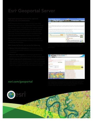
NOAA National Oceanographic Data Center (NODC) provides long-
term stewardship and preservation of ocean data, archiving more
than 25,000 data collections from ships, buoys, satellites, numerical
models, and a wide variety of other in-water sensors.
The City of Raleigh, NC, Geoportal is one part of the Open Raleigh
Initiative, which makes it easier for citizens to interact with city
government.
esri.com/geoportal