1. RANGE ACCURACY 1.2 mm + 10 ppm over full range
ANGULAR ACCURACY 8" horizontal; 8" vertical
3D POSITION ACCURACY 3mm at 50 m; 6mm at 100m
L A S E R S C A N N I N G with
L E I C A S C A N S T A T I O N
DATA ACQUISITION VIA 3D
LASER SCANNING
The laser probe projects a line of laser
light onto the surface while 2 sensor
cameras continuously record the
changing distance and shape of the laser
line in three dimensions (XYZ) as it
sweeps along the object.
RESULTING DATA
The shape of the object appears as
millions of points called a “point cloud”
on the computer monitor as the laser
moves around capturing the entire
surface shape of the object.
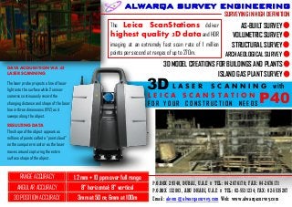
SURVEYING IN HIGH DEFINITION
The Leica ScanStations deliver
highest quality 3D data and HDR
imaging at an extremely fast scan rate of 1 million
points per second at ranges of up to 270m.
P.O.BOX 29340, DUBAI, U.A.E II TEL: 04-2676170; FAX: 04-2676171
P.O.BOX 132803, ABU DHABI, U.A.E II TEL: 02-5531234; FAX: 02-5535207
Email: aleem@alwarqasurvey.com Web: www.alwarqasurvey.com
ALWARQA SURVEY ENGINEERING
F O R Y O U R C O N S T R U C T I O N N E E D S
3D
P40
VOLUMETRIC SURVEY
AS-BUILT SURVEY
3D MODEL CREATIONS FOR BUILDINGS AND PLANTS
STRUCTURAL SURVEY
ARCHAEOLOGICAL SURVEY
ISLAND GAS PLANT SURVEY