Shrug 2018 color adjusting aerial imagery presentation part 1
•Télécharger en tant que PPTX, PDF•
0 j'aime•68 vues

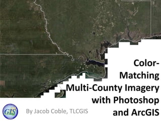
Color-Matching Multi-County Imagery with Photoshop and ArcGIS

Recommandé
Recommandé
Contenu connexe
Similaire à Shrug 2018 color adjusting aerial imagery presentation part 1
Similaire à Shrug 2018 color adjusting aerial imagery presentation part 1 (11)
Dernier
Dernier (20)
Shrug 2018 color adjusting aerial imagery presentation part 1
- 1. Color- Matching Multi-County Imagery with Photoshop and ArcGISBy Jacob Coble, TLCGIS 78gis5
- 2. When colors don’t match… If you want to combine images from multiple sources/jurisdictions, it might not look very good.
- 3. A lot of things can make the images appear different and less than ideal • Images might have been taken with different cameras. • Images might have been processed differently. • Images might look hazy. • The colors might appear “off” or different.
- 4. But there are things you can do about it. Why settle for this…
- 5. When you can have this!
- 6. View the TLCGIS EOC Region 2 Image Service in ArcMap or in your Browser! (Leon County is a separate Image Service) https://interraster.leoncountyfl.gov/interraster/rest/services/ImageryServices /TLC_Imagery2016_EOCRegion2_D_WM/ImageServer
- 7. Overview of Processes • Step 1. Obtain Mr. Sid files (unless you have original tiff images). You can obtain aerial imagery files in Mr. Sid format from here: http://www.fdot.gov/geospatial/aerialmain.shtm
- 8. Overview of Processes (continued) You have to have a free account with the FDOT A Plus website in order to be able to download large sets of images, such as for an entire county. You submit a request and they will e-mail you a temporary link where you can download the images (it might take them a few days to fill the request) You don’t need an account if you just want to download several images. Another option is using the www.labins.org website. The Florida Department of Environmental Protection’s LABINS website is a clearinghouse for all sorts of GIS data, including aerial imagery. You can download one high-resolution image at a time using the Quick Search map or you can purchase larger sets of data from LABINS. See www.labins.org for details
- 9. The LABINS website is a source for aerial imagery and other GIS data.