1. MODULE 1: INTRODUCTION AND DATA STRUCTURE
COMPONENTS OF A GIS
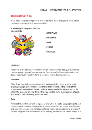
A GIS has a series of components that combine to make the system work. These
components are critical to a successful GIS.
A working GIS integrates five key
components:
HARDWARE
SOFTWARE
DATA
PEOPLE
METHODS
Hardware
Hardware is the computer system on which a GIS operates. Today, GIS software
runs on a wide range of hardware types, from centralized computer servers to
desktop computers used in stand-alone or networked configurations.
Software
GIS software provides the functions and tools needed to store, analyze, and
display geographic information. The choice shall depend on the needs of the
organization, functionality desired and the money available, and the period for
which the planning is being done. One may need to make a comparison of costs
and benefits before making a final decision.
Data
Perhaps the most important component of a GIS is the data. Geographic data and
related tabular data can be collected in-house, compiled to custom specifications
and requirements, or occasionally purchased from a commercial data provider. A
GIS can integrate spatial data with other existing data resources, often stored in a
Sumant Diwakar
2. MODULE 1: INTRODUCTION AND DATA STRUCTURE
corporate DBMS. The integration of spatial data and tabular data stored in a
DBMS is a key functionality afforded by GIS.
People
GIS technology is of limited value without the people who manage the system and
develop plans for applying it to real world problems. GIS users range from
technical specialists who design and maintain the system to those who use it to
help them perform their everyday work. The identification of GIS
specialists versus end users is often critical to the proper implementation of GIS
technology.
Methods
A successful GIS operates according to a well-designed implementation plan and
business rules, which are the models and operating practices unique to each
organization.
As in all organizations dealing with sophisticated technology, new tools can only
be used effectively if they are properly integrated into the entire business
strategy and operation. To do this properly requires not only the necessary
investments in hardware and software, but also in the retraining and/or hiring of
personnel to utilize the new technology in the proper organizational context.
Failure to implement your GIS without regard for a proper organizational
commitment will result in an unsuccessful system.
Sumant Diwakar