![Geography of South Asia Indus River Valley ,[object Object],[object Object]](data:image/gif;base64,R0lGODlhAQABAIAAAAAAAP///yH5BAEAAAAALAAAAAABAAEAAAIBRAA7)
Recommandé
Recommandé
Contenu connexe
En vedette
En vedette (8)
Similaire à India
Similaire à India (20)
Plus de Laurissa Agosta
Plus de Laurissa Agosta (20)
Dernier
Dernier (20)
India
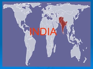
- 1. INDIA
- 3. Himalayas Deccan Plateau Coastal Plains Coastal Plains Northern Plains
- 4. Three Regions of South Asia Northern Plains Deccan Plateau Coastal Plains fertile Watered by: 1.Snow melting off Himalayas 2. Ganges River 3. Indus River 4.Brahmaputra River arid (dry) desolate (not very populated) triangular low-lying mountains Eastern and Western Ghats people use seas and farm
- 6. Monsoons - a seasonal wind Rain Store water Hot, dry air Grow crops with stored water 1 Summer Monsoon Winter monsoon 2
- 7. Hot, dry air still there Crops die Famine Too much rain floods Crops die, houses destroyed 3 If summer monsoon is late 4 If summer monsoon is early
- 10. 2 Main Cities twin capitals 1. Harappa 2. Mohenjo Daro Large- 3 miles around Hill top structures Sewer system Granary-place to store grain Carefully planned grid pattern: Skills in math Strong central gov’t
- 11. Farming Food surplus (extra)allowed for large cities Depended on river to flood (silt) Crops: Wheat Barley Melon Dates Cotton
- 12. Trade Merchants traded w/ Sumerians Learned writing Cultural diffusion INDIA SUMER
- 13. Religion Polytheistic Mother goddess is source of creation Worshipped sacred animals (cow) Animism is the worship of a spirit in all living things