20100922 Te Linde Future Flood Risk 2
•Télécharger en tant que PPT, PDF•
1 j'aime•477 vues

Future flood risk in the Rhine basin
![Problem description ,[object Object],[object Object],[object Object],[object Object],[object Object],[object Object]](data:image/gif;base64,R0lGODlhAQABAIAAAAAAAP///yH5BAEAAAAALAAAAAABAAEAAAIBRAA7)
Recommandé
Recommandé
Contenu connexe
En vedette
En vedette (7)
Similaire à 20100922 Te Linde Future Flood Risk 2
Similaire à 20100922 Te Linde Future Flood Risk 2 (20)
20100922 Te Linde Future Flood Risk 2
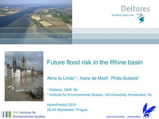
- 1. Aline te Linde 1,2 , Hans de Moel 2 , Philip Bubeck 2 1 Deltares, Delft, NL 2 Institute for Environmental Studies, VU University, Amsterdam, NL HydroPredict 2010 20-23 September, Prague Future flood risk in the Rhine basin
- 4. Method: current potential damage and risk Land Use Map Inundation map Damage grid Risk map (Aggreg.) x 1/250 Damage map (Aggreg.) x 1/500 Depth damage functions (Klijn et al., 2007) Urban Industry 1 Meter 1,5 Meter 2 M€ 1 M€
- 7. Results Rhine at Duisburg
- 9. Method: future flood risk in 2030 x 1/200 X1/450 x 1/150 X 1/400 Global Economy and climate scen 1 Regional Communities and climate scen 2
- 12. Results Reference situation RACMO and RC Wp and GE Region p EUR bln EUR mln/yr p EUR bln EUR mln/yr p EUR bln EUR mln/yr Alpine A 0.0050 0.5 2.3 0.0072 0.4 2.9 0.0157 0.5 8.1 Upper Rhine B 0.0010 23 23 0.0014 23 33 0.0038 27 110 Upper Rhine C 0.0050 60 300 0.0062 64 400 0.0129 75 970 Middle Rhine D 0.0050 16 79 0.0063 13 82 0.0125 19 2 Lower Rhine E 0.0050 72 360 0.0075 81 600 0.0125 91 1100 Lower Rhine F 0.0020 26 52 0.0031 31 95 0.0062 38 240 Delta 0.0008 120 98 0.0015 131 200 0.0023 150 340 Total 230 920 340 1400 400 3000
- 14. Results
- 15. Results
- 17. Thank you For more questions: [email_address] For more information: www.deltares.nl www.ivm.vu.nl www.climateresearchnetherlands.nl