Buoyage & chart symbols
•
11 j'aime•10,017 vues

The document discusses various navigational aids and chart symbols used in buoyage and chartwork including lateral markers to mark channels, contours to indicate depths, isolated dangers, safe water marks, emergency wreck marks, and special marks. It emphasizes that charts provide useful information about depths, hazards, rules and regulations, navigational aids, and other details to help map the sea for maritime navigation and safety.

Recommandé
Contenu connexe
Tendances
Tendances (20)
En vedette
En vedette (20)
Plus de Candi Abbott
Plus de Candi Abbott (14)
Dernier
Dernier (20)
Buoyage & chart symbols
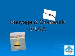
- 1. Buoyage & Chartwork IALA A
- 3. Minimum 10m Contour Depth 5.6m Line 0.5m Drying Height
- 8. NORTH EAST WEST SOUTH
- 10. Safe Water Mark
- 11. Isolated Danger
- 12. Special Mark
- 14. Summary Charts are our map of the sea Depth Hazards Rules and Regs Navigational Aids Other useful info
Notes de l'éditeur
- I am now going to introduce you to charts and buyage