
Recommandé
Contenu connexe
Tendances
Tendances (20)
En vedette
En vedette (20)
Similaire à An overview of the philippine regions and people
Similaire à An overview of the philippine regions and people (20)
An overview of the philippine regions and people
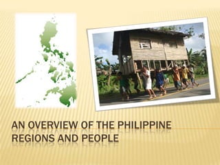
- 1. AN OVERVIEW OF THE PHILIPPINE REGIONS AND PEOPLE
- 2. WHERE DID THE NAME PHILIPPINES CAME FROM?
- 3. The name Philippines officially known as the Republic of the Philippines is derived from king Philip II of Spain.
- 4. Fourth Spanish colonization attempt of the Pacific region after the expedition of Ferdinand Magellan who was slain by the chieftain of the Mactan, Lapu-Lapu; Spanish explorer Ruy Lopez de Villalobos during his expedition in 1542 named the islands of Leyte and Samar Felipinas
- 5. GEOGRAPHICAL INFORMATION The Philippines is an archipelago comprising 7,107 islands with a total land area of 300,000 km2. The 11 largest islands contain 94% of the total land area. The largest of these islands is Luzon at about 105,000 km2. The next largest island is Mindanao at about 95,000 km2. The archipelago is around 800 km from the Asian mainland and is located between Taiwan and Borneo.
- 6. The islands are divided into three groups: Luzon, Visayas, and Mindanao. The Luzon islands include Luzon Island itself, Palawan, Mindoro,Marinduque, Ma sbate and Batanes Islands. The Visayas is the group of islands in the central Philippines, the largest of which are: Panay,Negros, Cebu, Bohol, Leyte and Sa mar. The Mindanao islands include Mindanao itself, plus the Sulu Archipelago, composed primarily ofBasilan, Sulu Island, and Tawi-Tawi.
- 7. HOW THE PHILIPPINES IS DIVIDED? Archipelago- sometimes called an island group, is a chain or cluster of islands Since the Philippines is an Archipelago, It is divided into three island groups: Luzon, Visayas and Mindanao.
- 8. The Philippine archipelago lies in Southeast Asia in a position that has led to its becoming a cultural crossroads, a place where Malays, Arabs, Chinese, Spaniards, America ns, Japanese and others have interacted to forge a unique cultural and racial blend.
- 9. REFERENCES Philippine History books