

Recommandé
Recommandé
Contenu connexe
Tendances
Tendances (20)
En vedette
En vedette (15)
Similaire à Seafloor mapping and visualisation_rev
Similaire à Seafloor mapping and visualisation_rev (20)
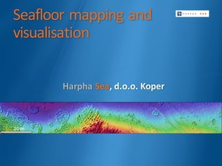
Seafloor mapping and visualisation_rev
- 4. Multi-sensor data fusion (echo-sounder and underwater photography) Seabed morphology Sub-bottom layers Integrated data from our core hydrographic, geophysical and environmental services can provide map products reflecting spatial patterns of seabed habitats, benthic macro-flora & fauna and geomorphological characteristics. (Posidonia oceanica, Pinna nobilis, Verongia aerophoba …) ECHO-SOUNDER LAYERS PHOTOGRAMMETRY LAYERS Precise distribution and size of seabed habitats, distribution of larger species
- 7. Marine mapping is all about holistic approach to create picture of seabed: morphology, sedimentologyand biology. Our data is suitable to create and interpret thematic maps of diverse habitats that can be used to implement marine policy, management and resource utilization. Seafloor mapping and visualisation Application Monitoring indicators for Marine Strategy Framework Directive (MSFD) descriptors based on precise geolocation: q Biodiversity: distribution and size of seabed habitats, largerspecies and non- indigenous species, biomass evaluation from 3D model; q Eutrophication and Physical damage effects on seabed and habitats q Seafloor integrity: damage on sea bottom, changes in integrity; q Monitoring of changes in hydrographical conditions; q Marine litter hot spots (surface and sea bottom) Integrated research of large underwater areas – detailed georeferenced seafloor mapping. Implementation of Marine Spatial Planning (MSP) and Integrated Coastal Zone Management (ICZM). 3D visualization, modeling and projection for research and dissemination (cultural and natural heritage, virtual “travelling” over underwater natural or archaeological sites).