1. PLANE TABLE SURVEYING
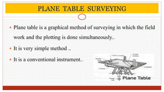
Plane table is a graphical method of surveying in which the field
work and the plotting is done simultaneously..
It is very simple method ..
It is a conventional instrument..
4. APPLICATIONS
Plane table is used in surveying and related disciplines to
provide a solid and level surface on which to make field
drawings,charts and maps.
It is used to fill in details between station fixed by
triangulation method or theodolite traversing method.
Magnetic areas.
Industrial areas.
5. ERRORS IN PLANE TABLING
The common sources of error may be classified as :
Instrumental errors
Errors of manipulation and sighting
Errors of plotting
6. ADVANTAGES
It is one of the most rapid method of surveying.
It is less costly than theodolite survey.
It is most suitable for small scale map.
Field notes are not required and thus the possibility of mistakes in
booking is eliminated.
It is particularly suitable for filling in details in hilly areas and in
magnetic areas where chain and compass surveys are not suitable.
7. DISADVANTAGES
It is not suitable in monsoon and high wind.
It is not suitable for large scale surveys and accurate work.
It is not suitable for surveying a densely wooded area.
Due to heaviness, it is inconvenient to transport.
The absence of field notes is sometimes inconvenient if the
survey has to be replotted to a different scale.